+4,568 / −4,558m
Climb and descend for +10 m net over 54.72 km.
Days 6High point 4,136 mFiles 7 incl. days
Elevation1,600–4,134 m
0 km54.72 km
Measured tracks
The real GPS tracks behind our trek guides — recorded on a named hiker’s watch at one-second sampling with barometric elevation. Load them onto a Garmin, COROS, Suunto or your phone, or open them in any GPS tool and read the same distances and climbs we do. A file you can open is the clearest test of “measured”.
Garmin — Garmin Connect → Training & Planning → Courses → Import, then send to device.
COROS — COROS app → Explore → Route Library → Import GPX, then sync.
Suunto — Suunto app → Map → Add route → Import, then sync.
Phone — open the .gpx in Gaia GPS, Komoot, Organic Maps or Google Earth.
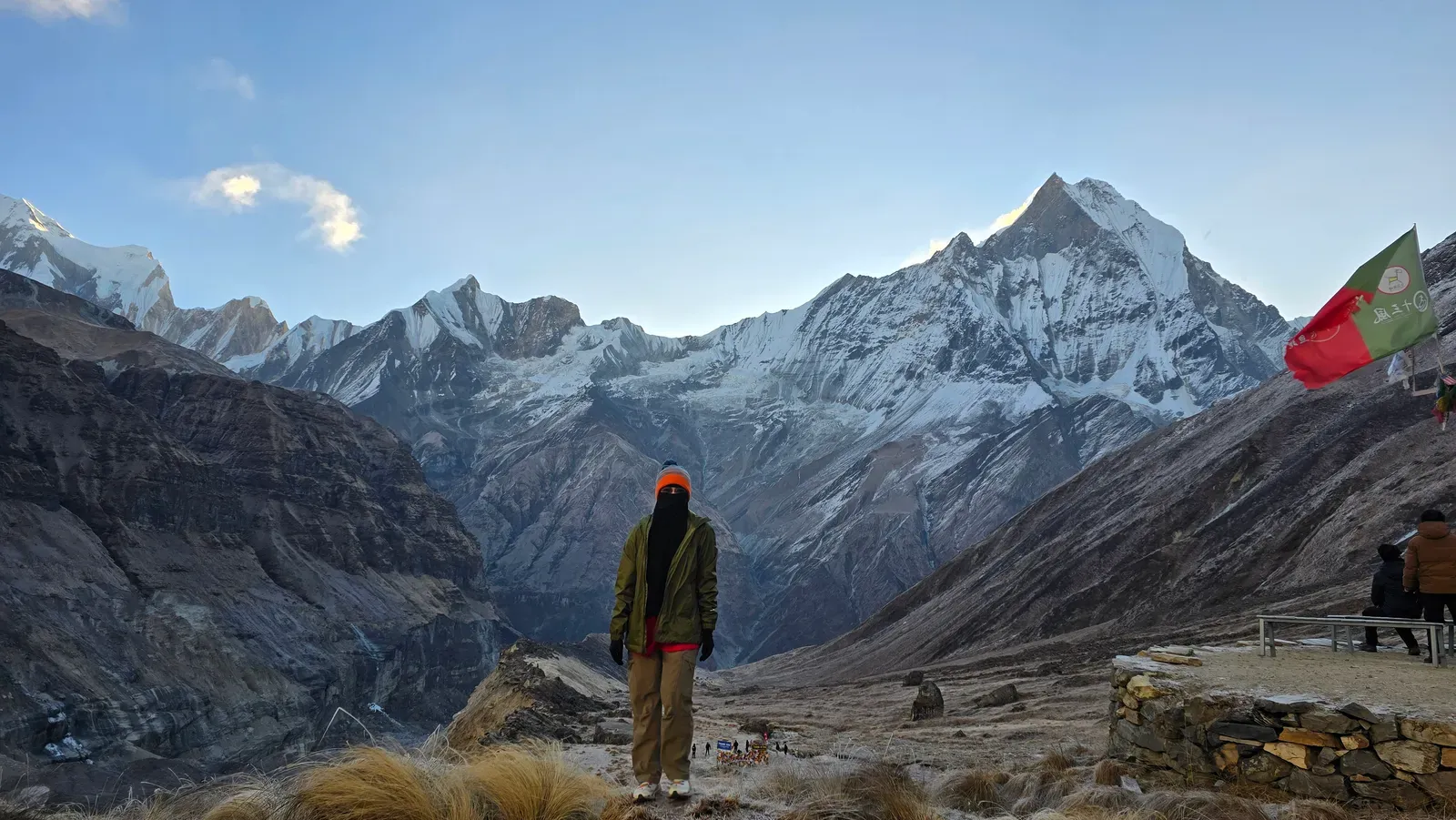
COROS · recorded by Kani · 19–24 Oct 2025 · 57,960 points
The whole route — one file
Climb and descend for +10 m net over 54.72 km.
Or grab a single day — swipe →
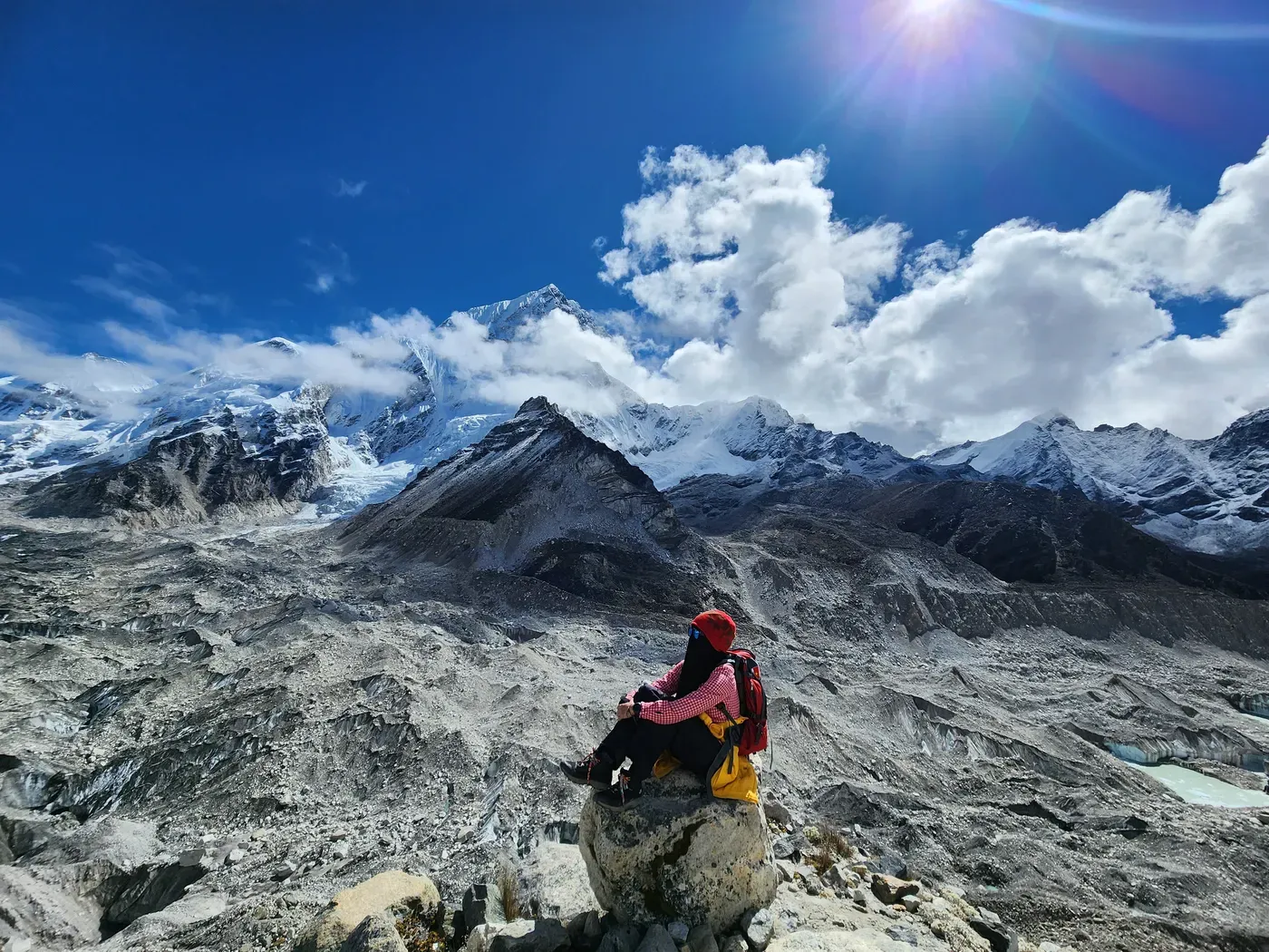
Garmin · recorded by Nashriq · 2–11 Nov 2025 · 62,107 points
The whole route — one file
Climb and descend for +158 m net over 157.8 km.
Or grab a single day — swipe →
Lukla → Phakding
Phakding → Namche Bazaar
Namche → Hotel Everest Viewacclimatisation
Namche → Deboche
Deboche → Dingboche
Dingboche → Lobuche
Lobuche → EBC → Gorakshep
Gorakshep → Kala Pattharpre-dawn
Gorakshep → Pherichedescent
Pheriche → Namche
Namche → Lukla
These tracks are free under CC BY 4.0 — use, remix and republish them, just credit keitreks with a link. They’re a planning aid, not a substitute for a map, a guide, or judgement on the day.
Prefer a spreadsheet? The measured day-by-day numbers are also here as CSV —Annapurna Base Camp ·Everest Base Camp ·the two compared. Or see the profiles, numbers and charts together on the measured trek data page.
Coming next. Mardi Himal is sourced but not yet walked by us, and the Annapurna Circuit is being measured first-hand this November — both land here once they’re genuinely ours to publish.